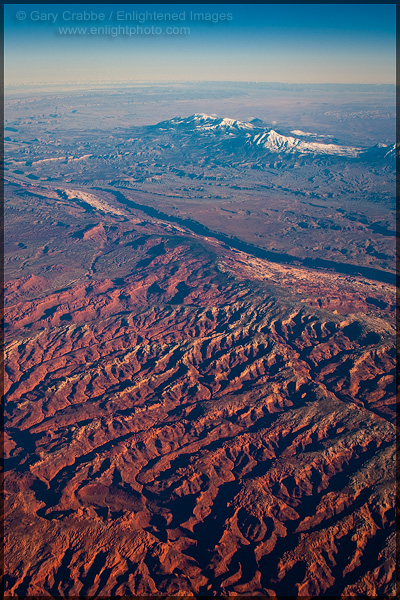
Picture: View from 36,000 feet over Utah

One of the nice things about prioritizing some long overdue editing is finding shots you forgot had been sitting idle, quietly tucked away on a computer hard drive. This is one of those.
If anyone recognizes the area, please let me know. I’m thinking this might be the La Sal Mountains outside of Moab, but I don’t recognize the foreground formations.
You can see a few other aerial photos at my online image archive.

Awesome shot, Gary! Looking at Google Earth, I think these might actually be the Henry Mountains; the FG topography seems to fit a bit better…
Greg:
Thanks so much. I think you nailed it.
cheers,
Gary